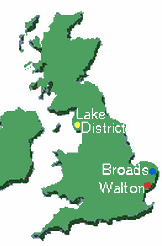
Map for exploration
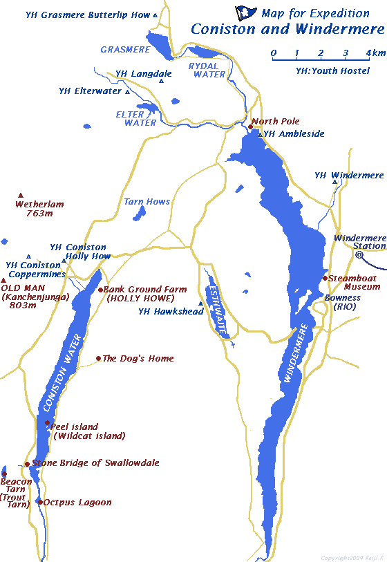
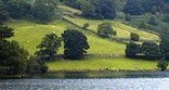
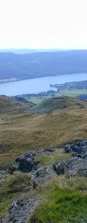
I tried to draw a map I wanted to when I walk around. It is a map for exploration around Lake Coniston and Windermere Lake.
"The only way to keep a secret (your own and other people's) is NEVER to answer a question. But you seem good at guessing. All the places in the books are to be found, but not arranged quite as in the ordnance maps. You seem to be just the those books. I am glad you like them."
With best wishes from
Arthur Ransome
by Roger Wardale "in the search of SWALLOWS & AMAZONS"
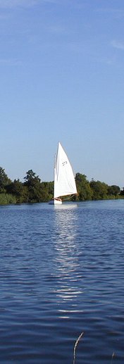
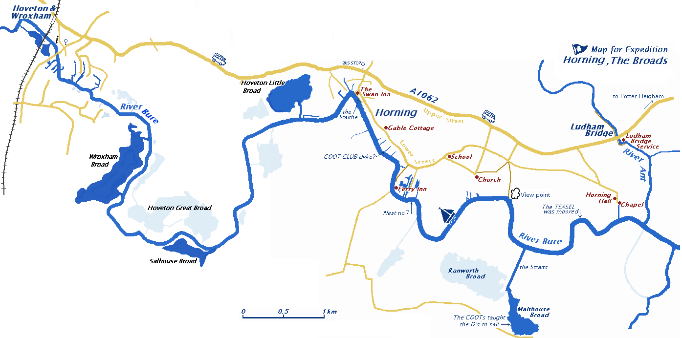 The setting for "Coot Club" and "The Big Six" is the village of Horning and the river Buer, a short distance from the railway station.
The bus route from Wroxham Station to Horning Village is 5B, the frequency of which varies depending on the day of the week.'konect bus'
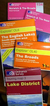
Ordnance Survey Map
I purchased a 25000:1 map of that is used for exploration in the local and London bookstore.
7 pounds I think a little expensive, but it is written very detail map. To Unlike the walk around anywhere hills if there is a way like Japan, it does not impassable is private property if there is a way you do not have written a public foot path. It has been depicted as this distinction is understood by map.
Ordnance Survey Explorer OL6 The English Lakes South-western area
Ordnance Survey Explorer OL7 The English Lakes South-east area
Ordnance Survey Explorer OL40 The Broads
Ordnance Survey LandrangerMap169 Ipswich & The Naze
Publication of these maps is OrdnanceSurvey .
Here is a land surveying part of the United Kingdom which corresponds to the Geographical Survey Institute of Japan.